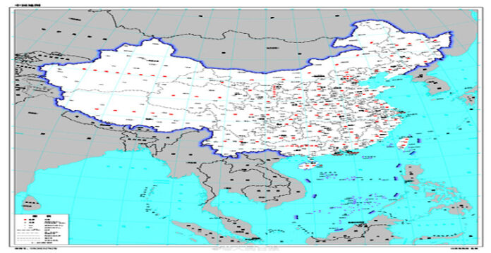
In what could lead to yet another diplomatic flare-up, China has released what it called the “2023 edition of the standard map” of the country showing Aksai Chin — one of the two large disputed border areas between India and China — and the whole of Arunachal Pradesh within its territory, according to reports quoting local Chinese media.
The map was released on Monday by China’s Ministry of Natural Resources, the reports said. The latest development has come four months after Beijing announced in April that it would “standardize” the names of 11 places in Arunachal Pradesh.
Also, the release of the map has come at a time when the New Delhi G20 summit is less than a fortnight away, which Chinese President Xi Jinping is also expected to attend.
Also Read: China’s economy grows faster than expected
The G20 summit is scheduled to be held between September 9 and 10. India has always asserted that Arunachal Pradesh has “always been” and will “always be” an integral part of the country.
China’s move to rename 11 places in Arunachal Pradesh attracts strong reaction from India
It is said that this is the third such attempt made by the Chinese government during the last 6 years. It was in the year 2017 when a list of names pertaining to six places in Arunachal Pradesh was released. Similarly, another list of 15 places was released in 2021 that were replaced with Chinese names. However, India rejected both these lists and registered strong protest against the Chinese provocative move. India has always maintained that Arunachal Pradesh is an integral and inextricable part of India and the Chinese move to claim over Indian territory is ill-motivated.
(This story is sourced from a third-party syndicated feed. Raavi Media takes no responsibility or liability of any nature. Raavi Media management/ythisnews.com can alter or delete the content without notice for any reason.)


